Karacadağ
The source of life in Diyarbakır…
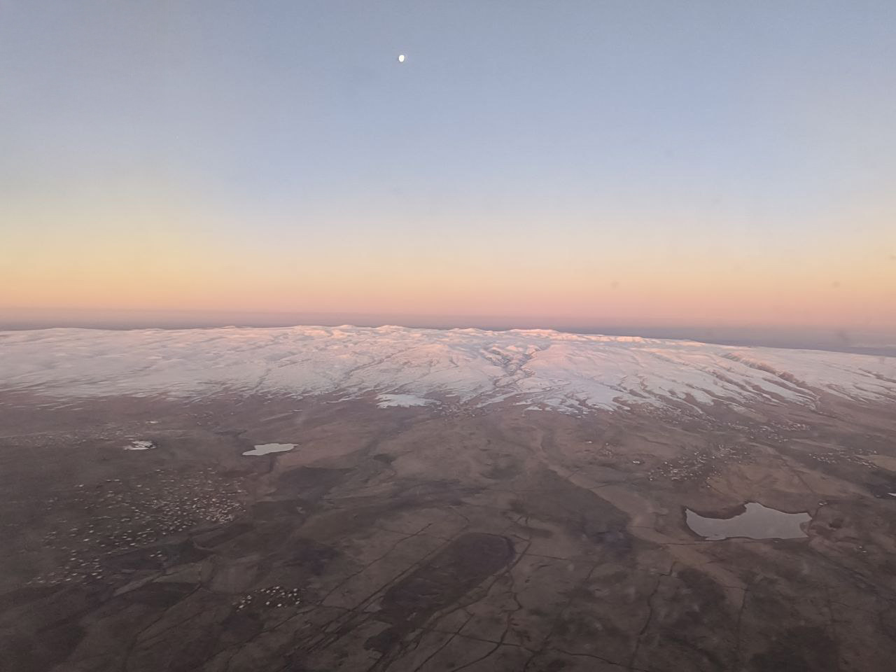
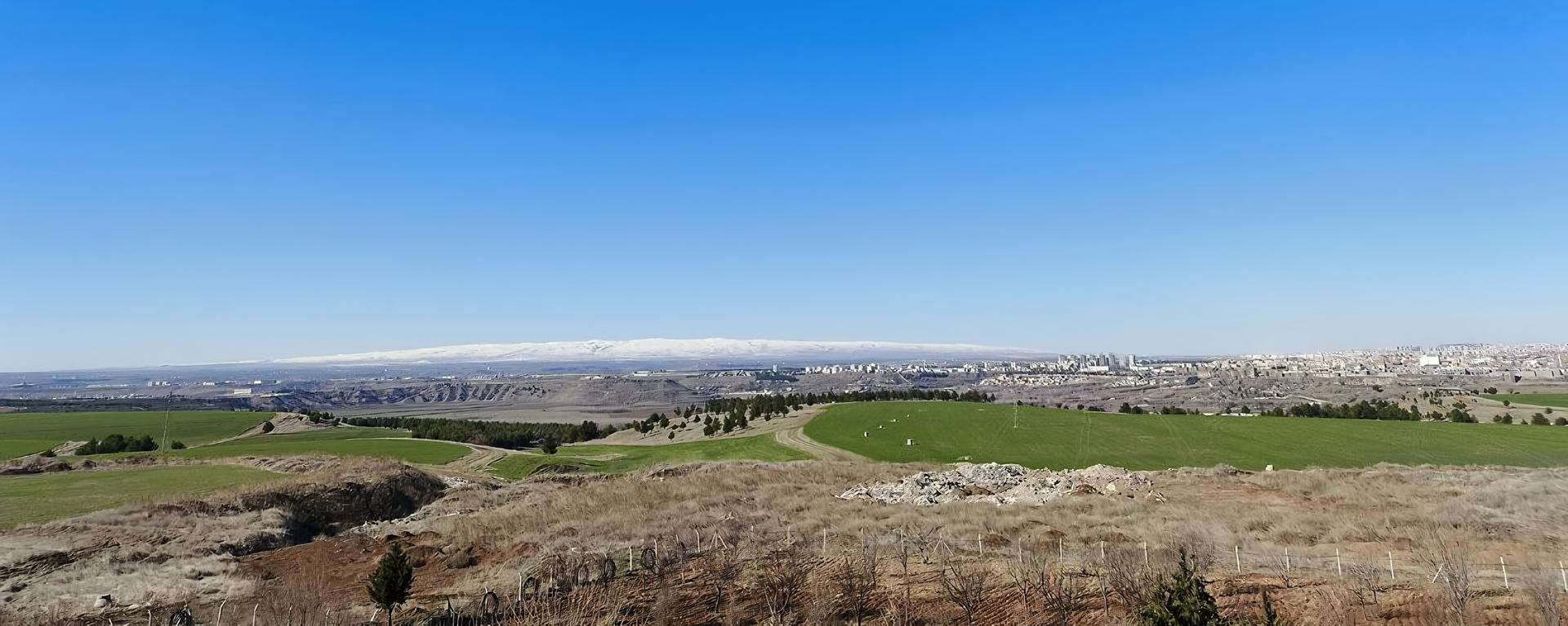
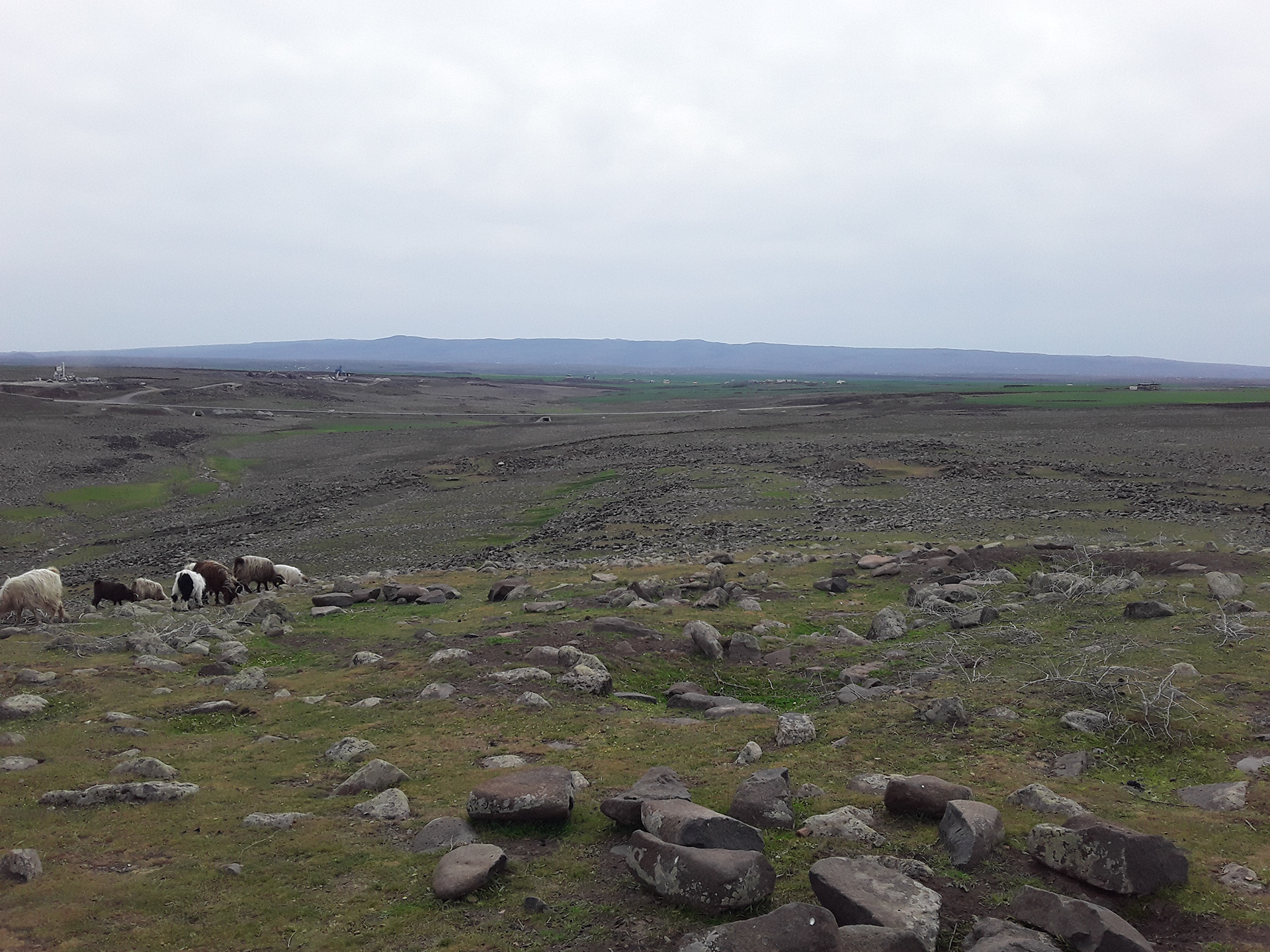
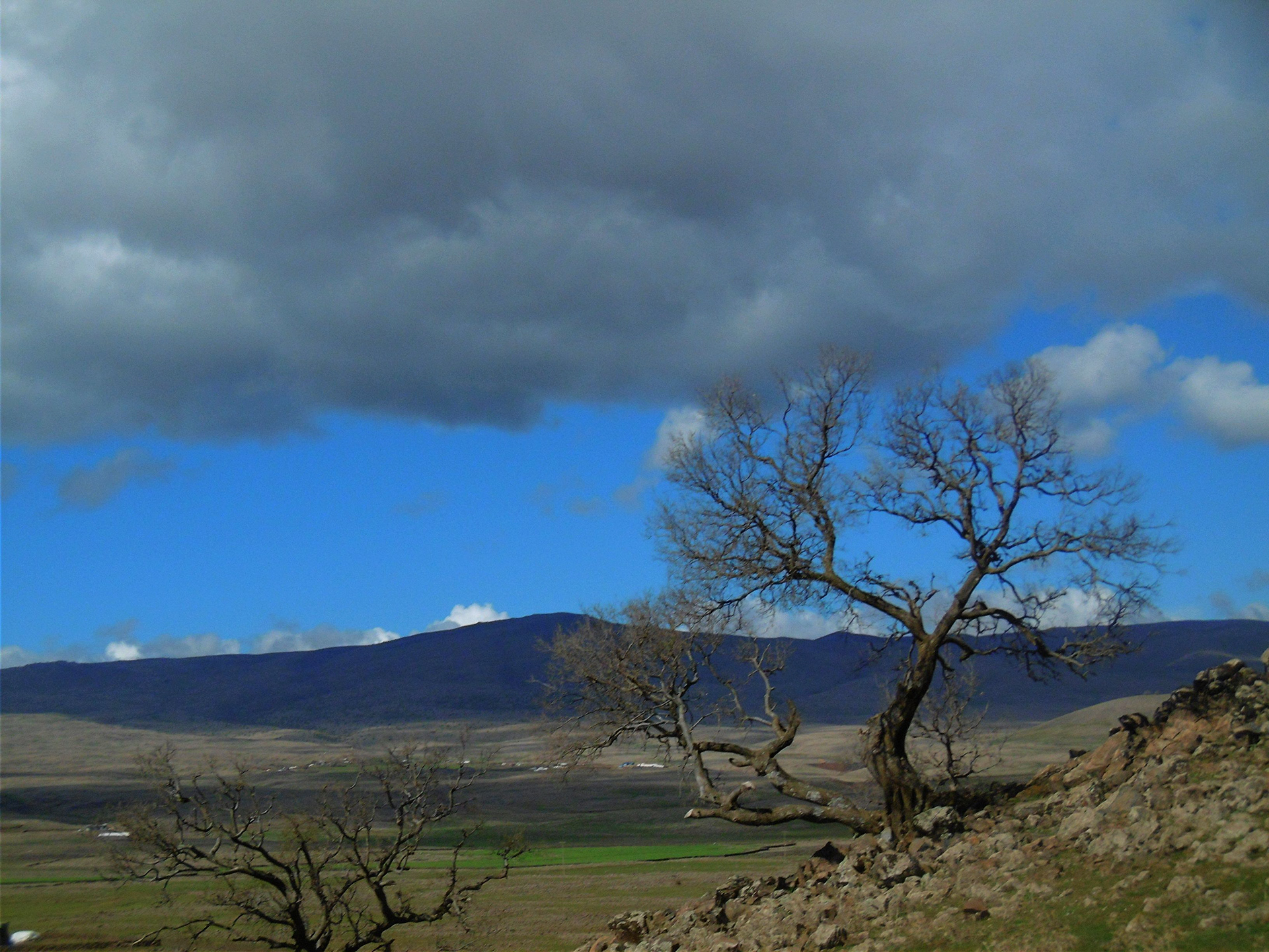
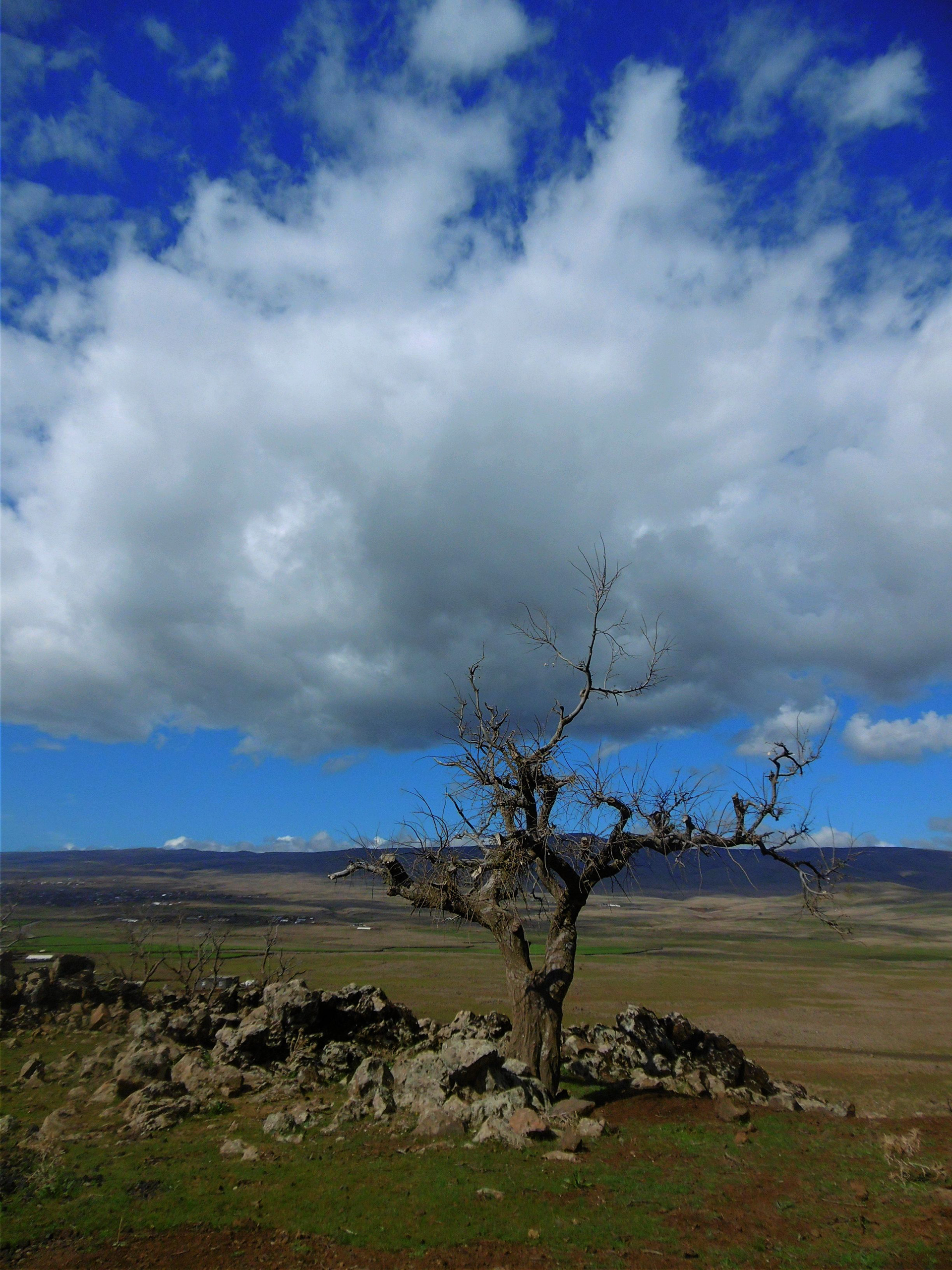
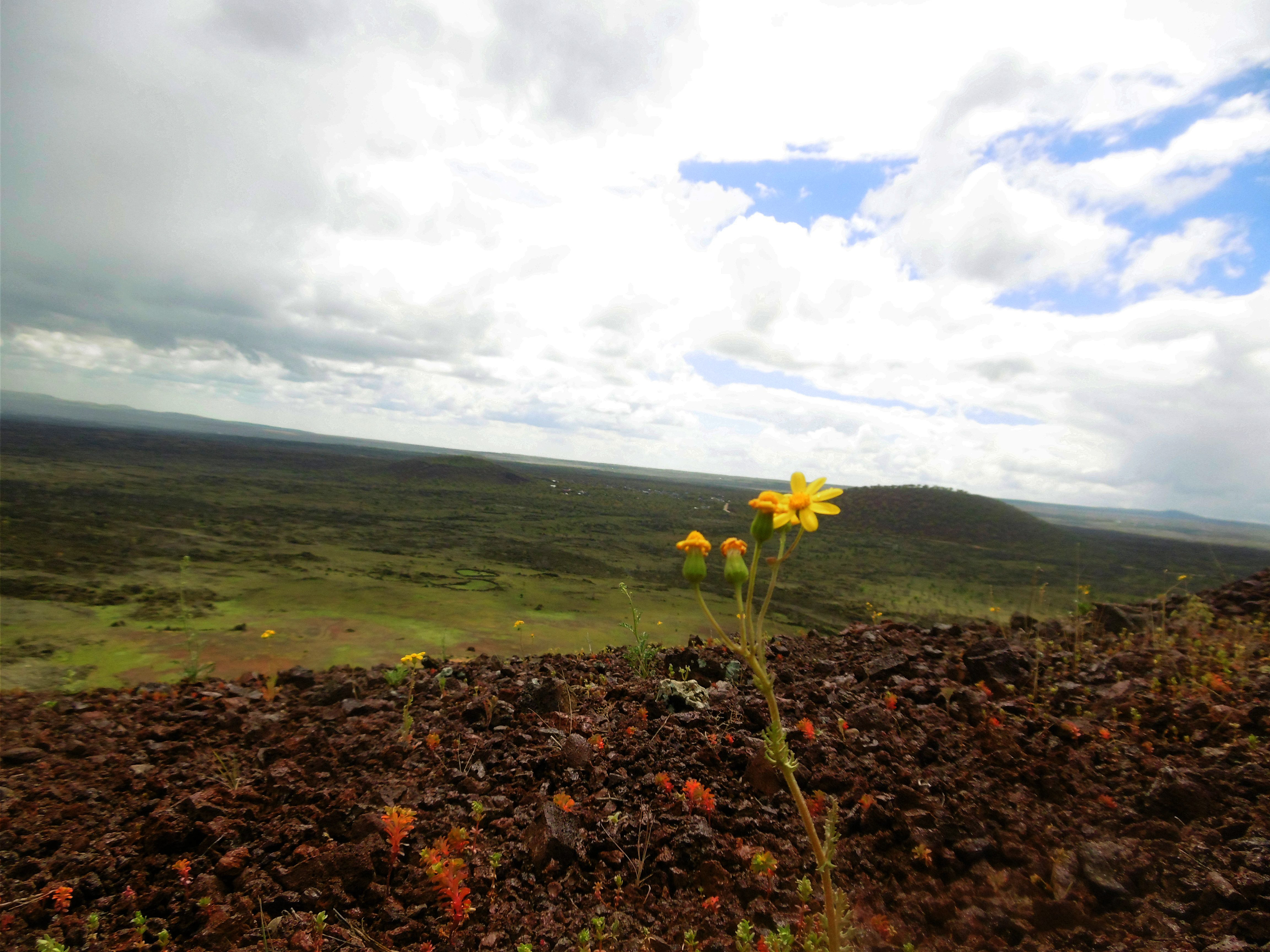
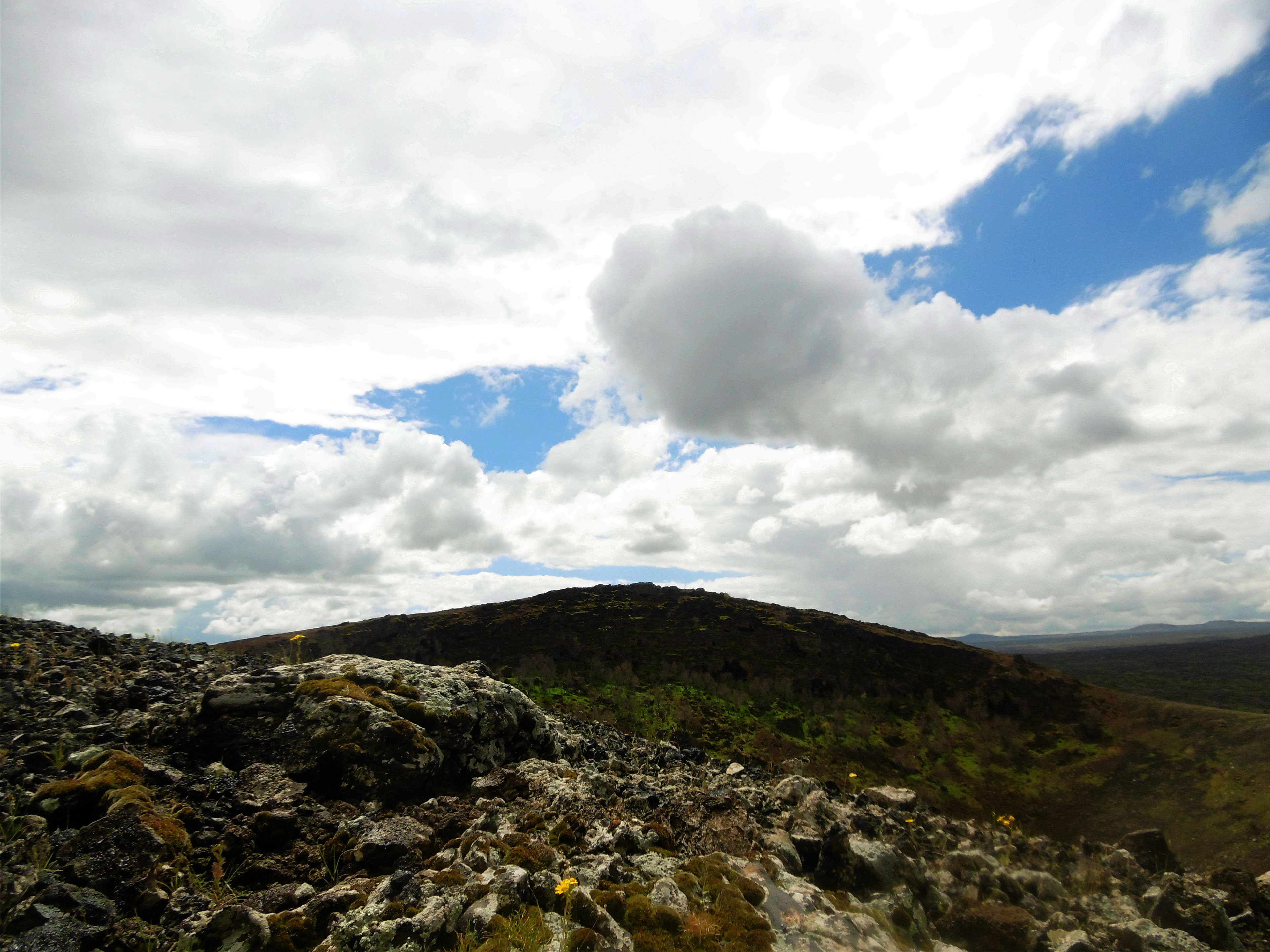
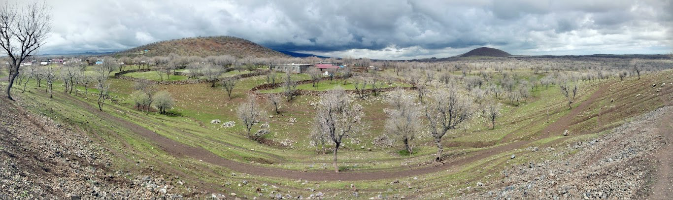
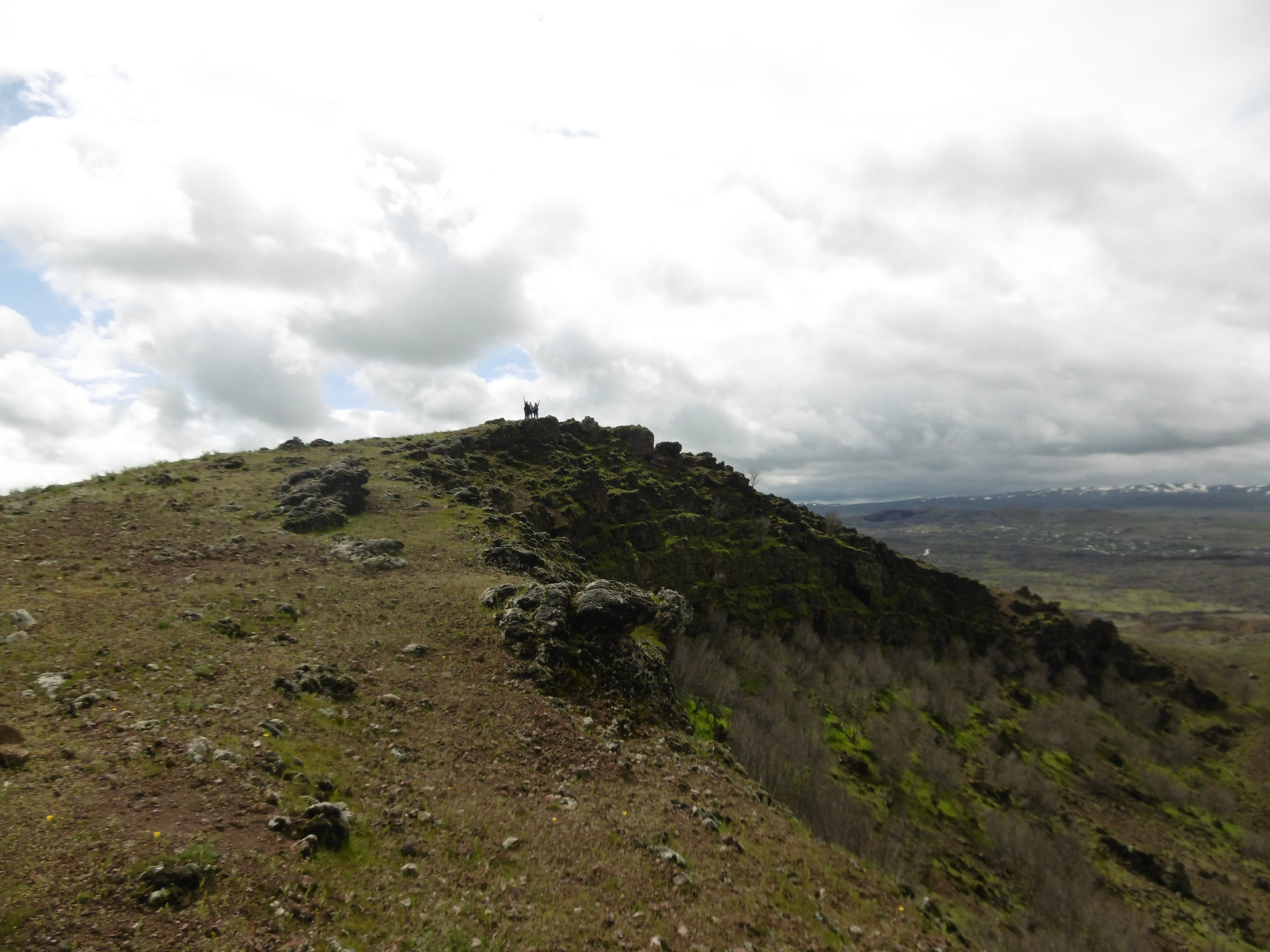
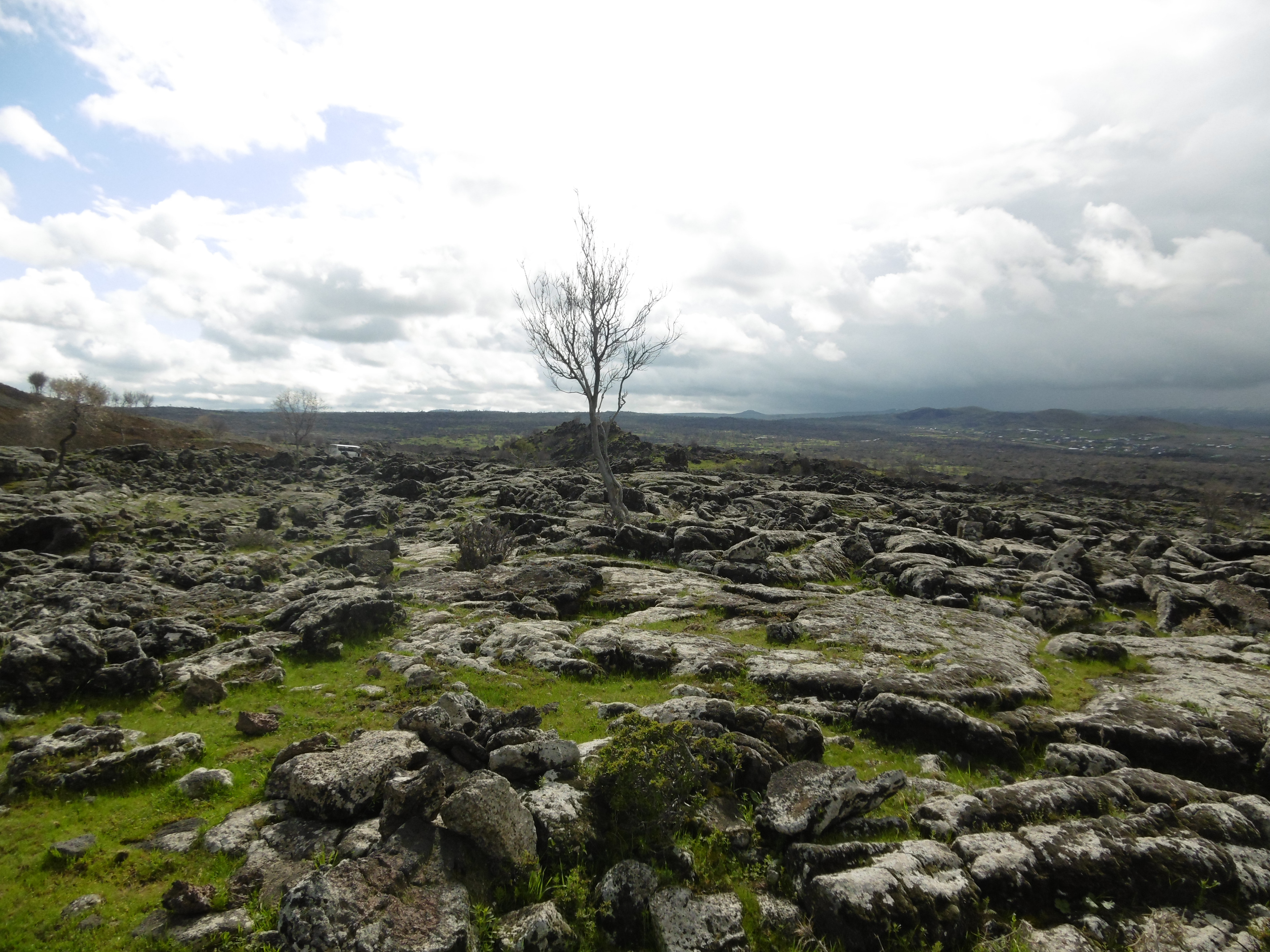
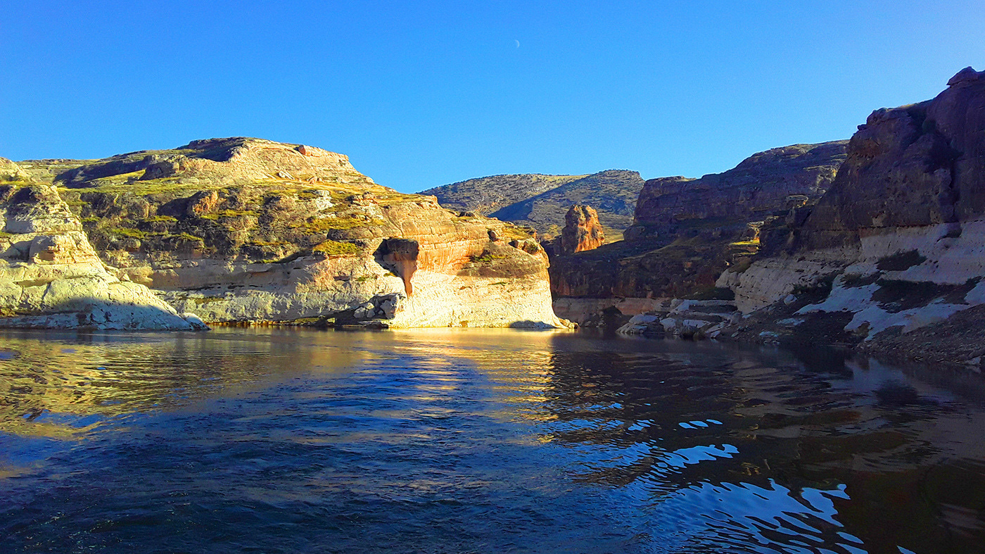
Karacadağ, which has an important place in the history of the foundation of Diyarbakır, is a flat (Hawaiian type) volcanic cone rising on a basaltic lava plateau spread over a wide area. The volcanic activities related to Karacadağ emerged in relation to young tectonic movements that started approximately 26 million years ago and are still ongoing, and are the cause of today's earthquakes. It is suggested that the volcanic mass of the mountain was formed not by lava erupting from a single mouth or crater, but by lava erupting from different mouths and spreading in certain directions, and that it was active until approximately 70-80 thousand years ago with explosive activities in recent periods. The large Karacadağ mass, formed by the erupting of flowing lava to the surface, is a flat and wide shield-shaped volcano. As the water seeping from the basalts flowed along the impermeable clayey topography surface in accordance with the topographic slope, important sources such as Gözeli, Anzele, Alipınar and İçkale waters, which have met the city's drinking water needs since its foundation, were formed in Diyarbakır and its surroundings. On the Karacadağ plateaus, there are generally dark-colored basaltic (Andisol) soils that have developed on basalt rocks, contain mostly clay and clayey clay, are rich in nutrients. While the areas where the soil gets deeper allow for field and rice farming, viticulture is carried out in areas where the soil gets shallower. The higher areas are generally used as pastures. Today, tree formations are encountered only in small groups at 1500-1900 m. altitudes of Karacadağ. These groups, which are generally composed of xerophytic species and oaks, are evidence that the Karacadağ area used to be rich in terms of vegetation, especially forests. Karacadağ is an area that hosts a great variety of plant species in the entire Southeastern Anatolia Region and is the homeland of many plants. In fact, there are more than 250 plant species, including endemic species, in Karacadağ and its surroundings. In the basalt masses in the area where the old city core of Diyarbakır was established, especially on the slopes of the Tigris River, steep slopes were formed due to the erosive effect of the river. In addition to creating a place suitable for defense, these slopes also provided suitable material for walls, residences and other architectural structures. As in the past, Karacadağ is still the summer pasture (zozan) area of nomadic tribes engaged in animal husbandry.
The Karacadağ volcanic field, which is the largest and only Hawaiian type volcanic formation in Turkey, offers unique characters and effects in many ways. The Karacadağ volcanism with its basalt plateau, lava flows, valleys and columns, miniature volcanic cones that constitute a geopark in its surroundings, is among the unique geological riches of the country and the region.
The source of life in Diyarbakır…
Karacadağ, which has an important place in the history of the foundation of Diyarbakır, is a flat (Hawaiian type) volcanic cone rising on a basaltic lava plateau spread over a wide area. The volcanic activities related to Karacadağ emerged in relation to young tectonic movements that started approximately 26 million years ago and are still ongoing, and are the cause of today's earthquakes. It is suggested that the volcanic mass of the mountain was formed not by lava erupting from a single mouth or crater, but by lava erupting from different mouths and spreading in certain directions, and that it was active until approximately 70-80 thousand years ago with explosive activities in recent periods. The large Karacadağ mass, formed by the erupting of flowing lava to the surface, is a flat and wide shield-shaped volcano. As the water seeping from the basalts flowed along the impermeable clayey topography surface in accordance with the topographic slope, important sources such as Gözeli, Anzele, Alipınar and İçkale waters, which have met the city's drinking water needs since its foundation, were formed in Diyarbakır and its surroundings. On the Karacadağ plateaus, there are generally dark-colored basaltic (Andisol) soils that have developed on basalt rocks, contain mostly clay and clayey clay, are rich in nutrients. While the areas where the soil gets deeper allow for field and rice farming, viticulture is carried out in areas where the soil gets shallower. The higher areas are generally used as pastures. Today, tree formations are encountered only in small groups at 1500-1900 m. altitudes of Karacadağ. These groups, which are generally composed of xerophytic species and oaks, are evidence that the Karacadağ area used to be rich in terms of vegetation, especially forests. Karacadağ is an area that hosts a great variety of plant species in the entire Southeastern Anatolia Region and is the homeland of many plants. In fact, there are more than 250 plant species, including endemic species, in Karacadağ and its surroundings. In the basalt masses in the area where the old city core of Diyarbakır was established, especially on the slopes of the Tigris River, steep slopes were formed due to the erosive effect of the river. In addition to creating a place suitable for defense, these slopes also provided suitable material for walls, residences and other architectural structures. As in the past, Karacadağ is still the summer pasture (zozan) area of nomadic tribes engaged in animal husbandry.
The Karacadağ volcanic field, which is the largest and only Hawaiian type volcanic formation in Turkey, offers unique characters and effects in many ways. The Karacadağ volcanism with its basalt plateau, lava flows, valleys and columns, miniature volcanic cones that constitute a geopark in its surroundings, is among the unique geological riches of the country and the region.